1 / 3
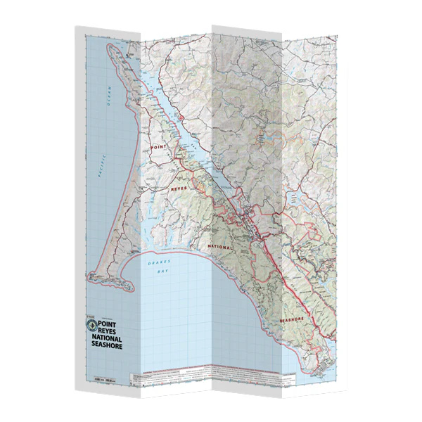
Pt Reyes National Seashore
Tom Harrison maps have color-coded symbols and trails, mileages between trail junctions, latitude/longitude, UTM grids, contour lines, vegetation, and elevations at trail junctions.
- Published in 2017
- Scale 1:48,000
- 80 ft contours
Tom Harrison maps have color-coded symbols and trails, mileages between trail junctions, latitude/longitude, UTM grids, contour lines, vegetation, and elevations at trail junctions.
- Published in 2017
- Scale 1:48,000
- 80 ft contours
$3.28
Original: $10.95
-70%Pt Reyes National Seashore—
$10.95
$3.28Description
Tom Harrison maps have color-coded symbols and trails, mileages between trail junctions, latitude/longitude, UTM grids, contour lines, vegetation, and elevations at trail junctions.
- Published in 2017
- Scale 1:48,000
- 80 ft contours